Everything You Need to Know About the Map of Haiti
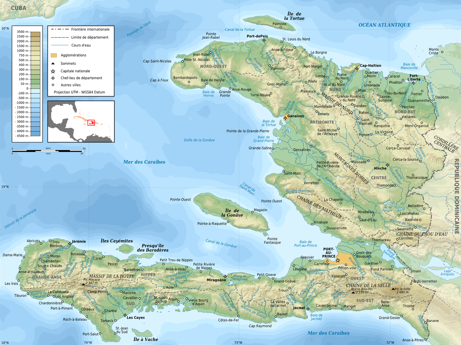
The map of Haïti is an essential tool for understanding the geography of the country, its political organization, and its different regions. Whether for travelers, researchers, or those interested in the history of Haiti, this map provides crucial information on the location of cities, mountains, coastlines, and borders. This article explores the map of Haiti, its key elements, and what it represents for the Haitian people.
The Geography of Haiti: A Global Overview
Haïti is an island nation located in the Caribbean, on the island of Hispaniola, which it shares with the Dominican Republic. The map of Haïti shows a territory that extends over approximately 27,750 km², making Haïti the 3rd smallest country in the Caribbean region.
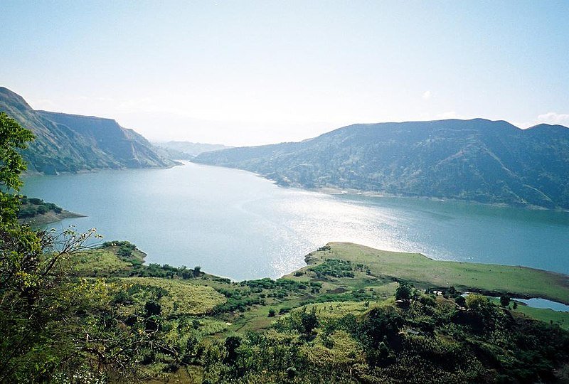
The country is divided into 10 departments, which are themselves subdivided into districts and communes. Haiti’s geography is marked by mountains, coastal plains, and impressive biodiversity. The country has a particularly mountainous relief, with the Massif de la Selle mountain range, which peaks at more than 2,600 meters above sea level, offering spectacular landscapes.
Maps of Haïti allow you to visualize these mountains, valleys, and rivers that mark the territory, while highlighting the coastal areas and neighboring islands.
Haiti’s Departments: A Journey Through the Country
The map of Haïti reveals the administrative structure of the country through its departments. Haïti has ten departments:
1. Artibonite
2. Centre
3. Grand’Anse
4. Nippes
5. Nord
6. Nord-Est
7. Nord-Ouest
8. Ouest
9. Sud
10. Sud-Est
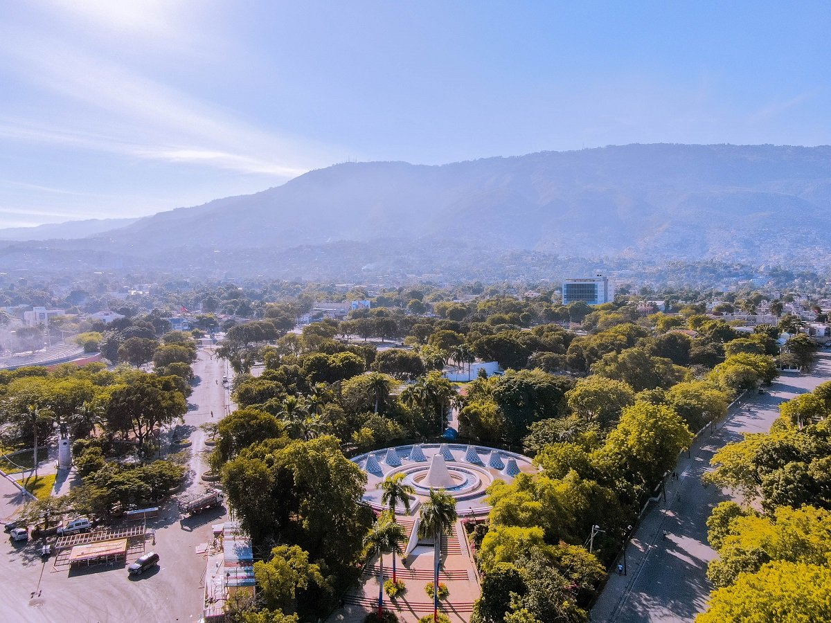
Each department has a capital, which is often a major city where much of the economic and cultural activity is concentrated. For example, Port-au-Prince, the country’s capital, is located in the Ouest department, and is also the largest city in Haiti.
The maps detail not only the capitals of each department, but also the main roads connecting these cities, making it easier to get around and understand the country’s territorial organization.
Haiti’s Borders: Sharing the Island of Hispaniola
The map of Haïti also highlights the country’s borders, particularly its long land border with the Dominican Republic, which occupies the eastern part of the island. The border, which stretches for approximately 380 kilometers, is a crucial element in diplomatic and commercial relations between the two countries.
To the south, Haïti is bordered by the Caribbean Sea, while to the north, it faces the Atlantic Ocean. The map also illustrates small neighboring islets such as Île de la Tortue to the northwest, an important historical site for Haitians.
Modern maps often show maritime boundaries, which are essential for understanding geopolitical issues related to natural resources and navigation.
Haiti’s Coasts and Beaches: Unparalleled Beauty
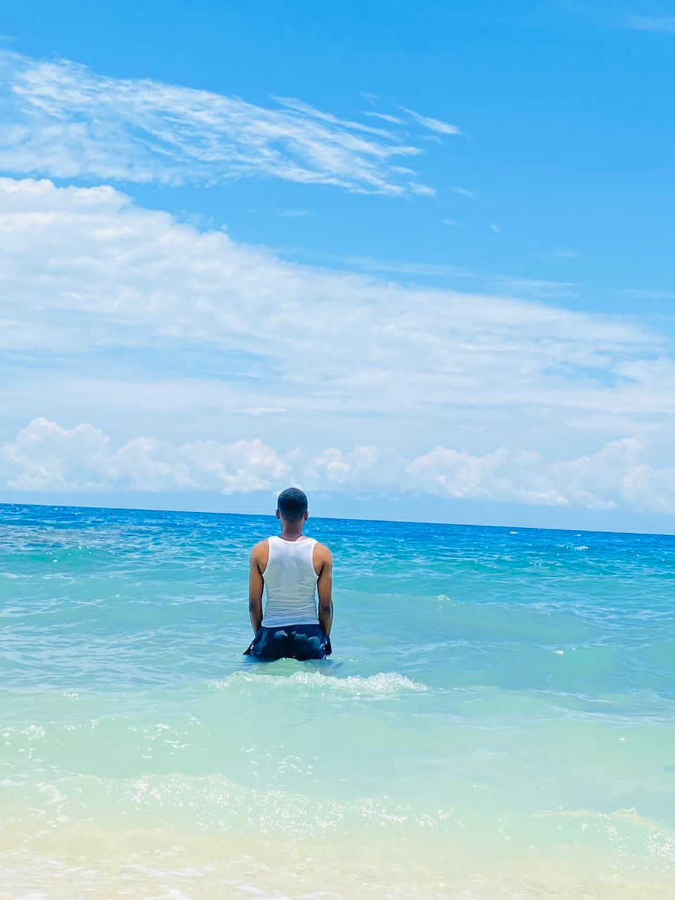
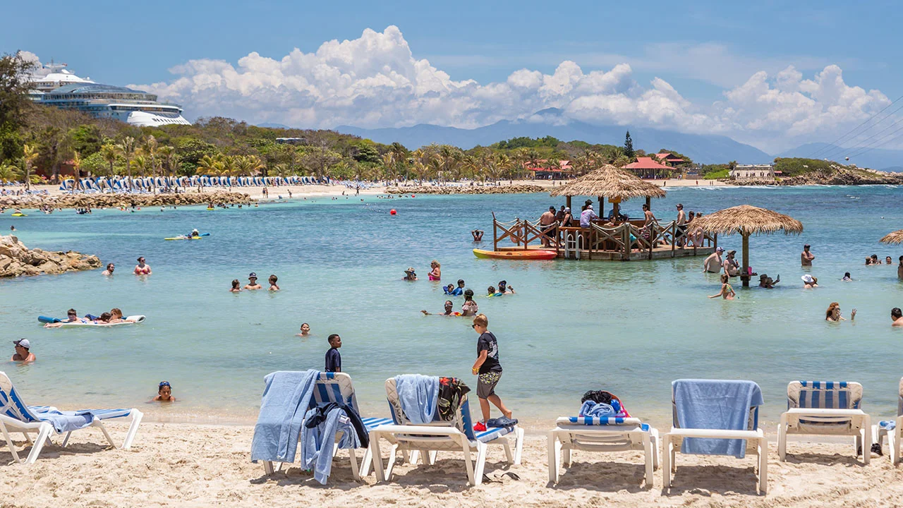
The map of Haïti highlights its magnificent coastline that stretches for more than 1,700 kilometers. These beaches line the island and are among the most beautiful in the Caribbean. The west coast, which overlooks the Caribbean Sea, is dotted with beaches like Jacmel and Port-Salut, known for their white sand and crystal-clear waters.
The map also shows the presence of important tourist sites, including resorts and national parks, which are essential to Haiti’s tourism industry.
Major Cities: Focal Points of Haitian Life
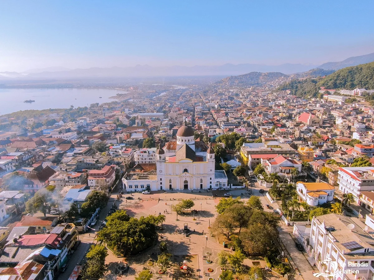
In addition to Port-au-Prince, the map of Haïti highlights other important cities in the country, such as Cap-Haïtien in the north, which is a key economic center and strategic port. Les Cayes in the south is another port city, and Jacmel in the southeast is known for its cultural heritage and historical role in the Haitian Revolution.
The maps help locate these important cities and better understand their role in the country’s economy, politics, and culture.
Roads and Infrastructure: Key to Development
Maps of Haïti also show the country’s main infrastructure, including roads and transportation networks. Roads connecting major cities and departments are essential for the movement of goods and services. However, the quality of infrastructure remains a challenge, with roads sometimes damaged due to weather and lack of maintenance.
Modern maps also highlight progress made in modernizing infrastructure, as well as development projects to improve connectivity between different regions.
Maps: An Educational and Tourism Tool
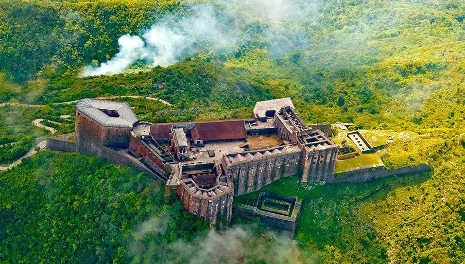
Maps of Haïti are not only navigation tools, they also play an important educational role. They are used in schools to teach the geography and history of the country. Tourist maps allow travelers to discover the natural and cultural riches of Haiti, whether it is its heavenly beaches, its majestic mountains, or its historical sites such as the Citadelle Laferrière.
Maps are therefore essential to raise awareness of the importance of Haitian geography and environment, and to promote tourism through valuable information.
A Fundamental Tool to Understand Haiti
The map of Haïti is much more than a simple geographical document. It is a fundamental tool to understand the structure and beauty of this country, while offering an overview of its history, resources and challenges. Whether for Haitians themselves or for foreigners who wish to discover Haiti, the map of the country remains an essential guide to appreciate the geographical, cultural and historical richness of this Caribbean nation.